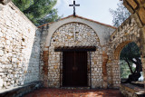
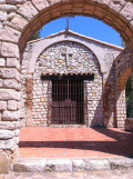
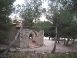
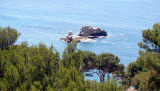
To the east of Carry, between the Rouet beach and the Eaux-Salées cove, the Chapelle de Notre Dame du Rouet stands on a triangular promontory overlooking the sea from the top of a cliff.
Every year on September 8, the feast of the Nativity, the sea and boats are blessed. Guided tours organized by the Tourist Office in July and August.
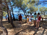
You can continue your walk via the Viaduc des Eaux Salées to join the sentier des Douaniers, leading to the Redonne, Méjean and Niolon creeks.