The Grand Sentier de la Côte Bleue, was inaugurated in 2018. It is a 62 km route that includes 17 loops through the Côte Bleue. This hike offers walkers a panoramic view of the great blue, cliffs and hills and invites you to discover the riches of our small villages: Grand sentier de la Côte Bleue My Provence
Great Blue Coast trail
Each stage can be made from a station by taking line 7 of the SNCF.
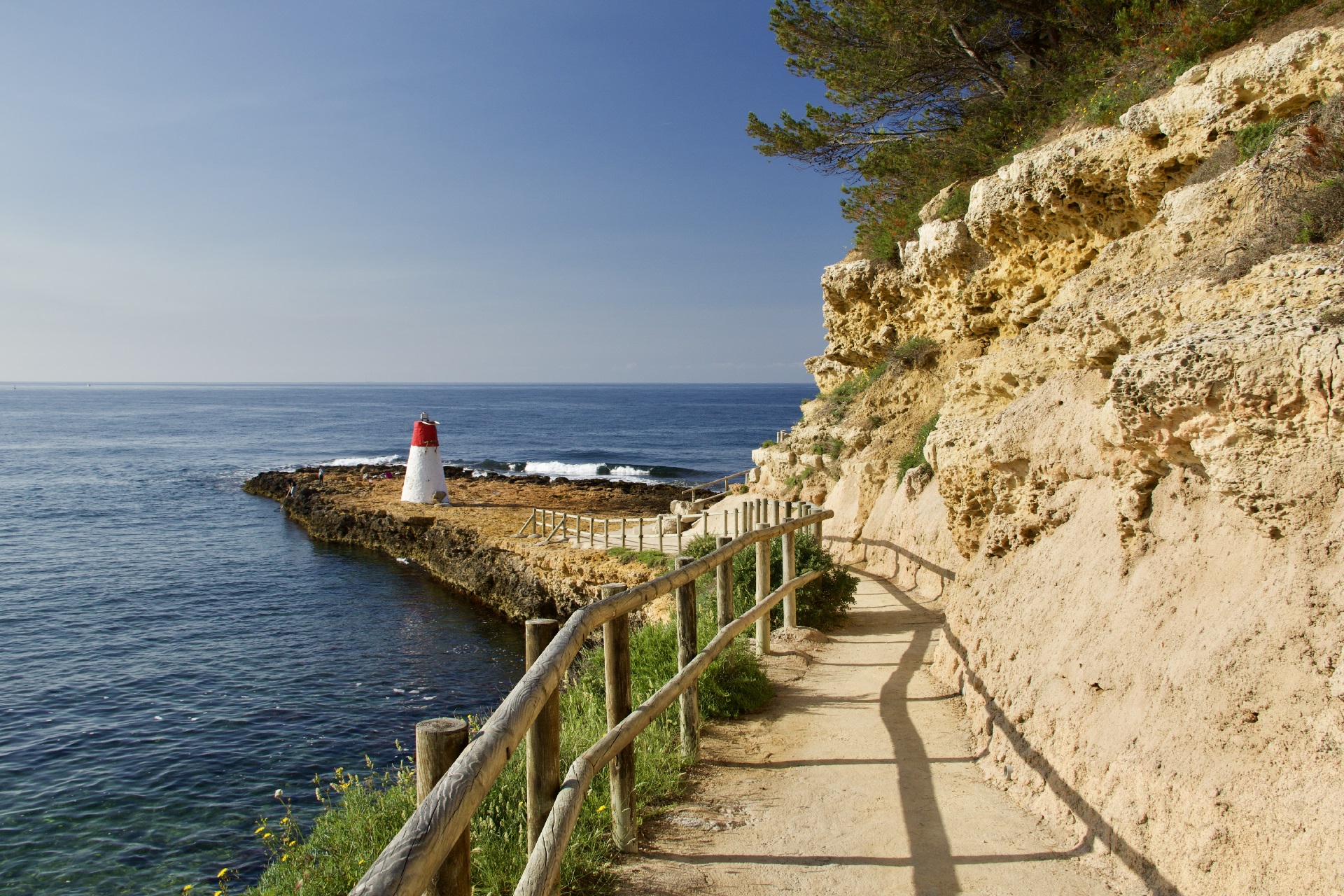
From the port, you just have to take the Maleville dock and cross a few stairs on the right of the lighthouse, called "sugar bread" to find yourself on the customs trail renamed "lizard trail" so this species thrives there.
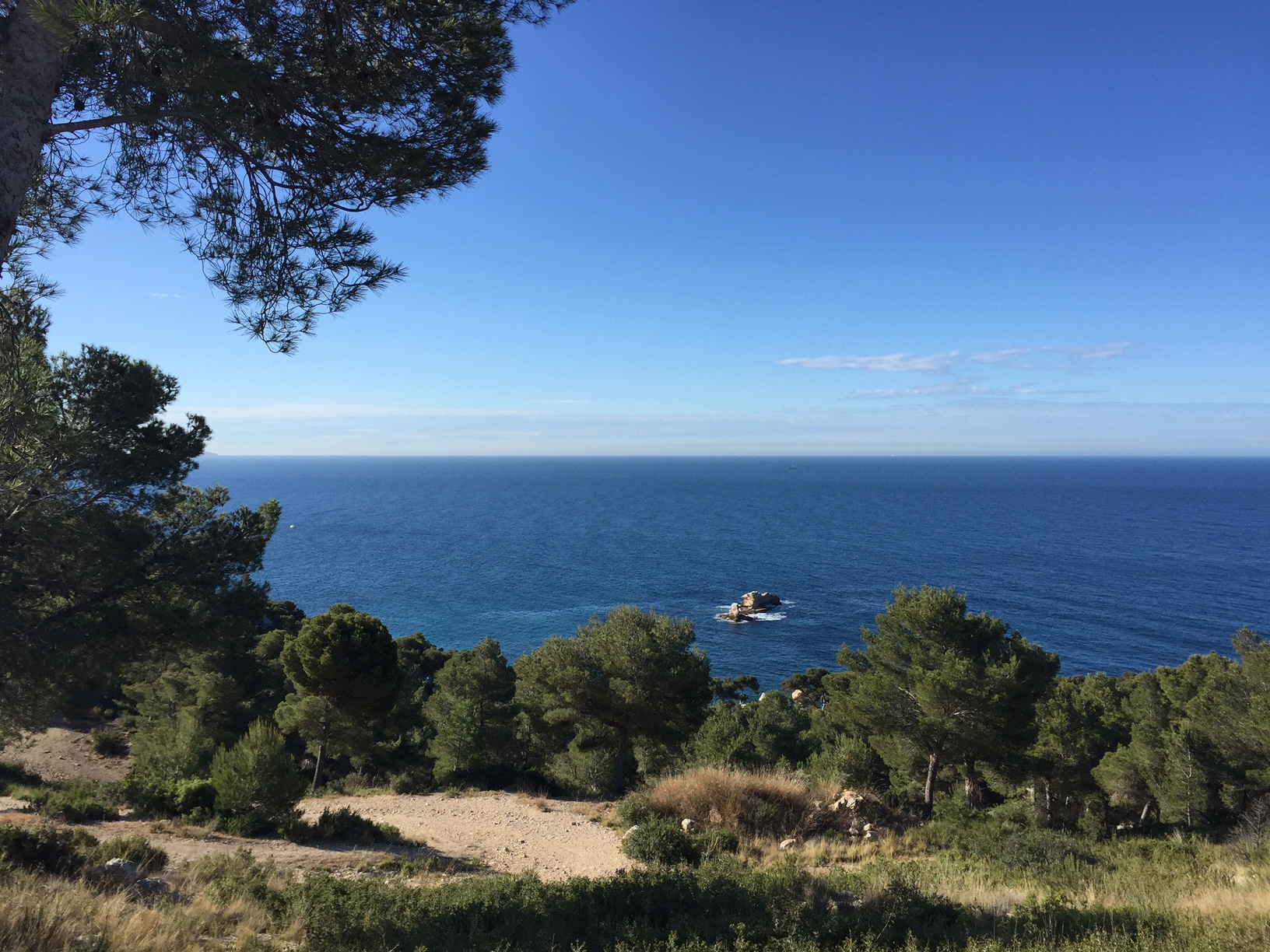
The route will take you to the beach of Baumettes discovering coves with clear waters, turquoise color and a large part of the Mediterranean flora. Information boards will teach you about all the plants and animals you may encounter.
Course of 4 km, with 70 m of difference in altitude and easy level.
East of the village, after the beach of Rouet, you will go up to the chapel of Notre Dame du Rouet. Sitting on its promontory, it dominates the creeks to the harbour of Marseille and watches over the sailors since 1653.
Going down the stairs and taking the path towards the cove of Eaux-Salées, you can continue your way towards Niolon by taking the path of customs officers (GR 51) which is on the left looking at the sea (from the Calanque des Eaux Salées).
Course of 16 km, with 300 m of difference in altitude and difficult level.
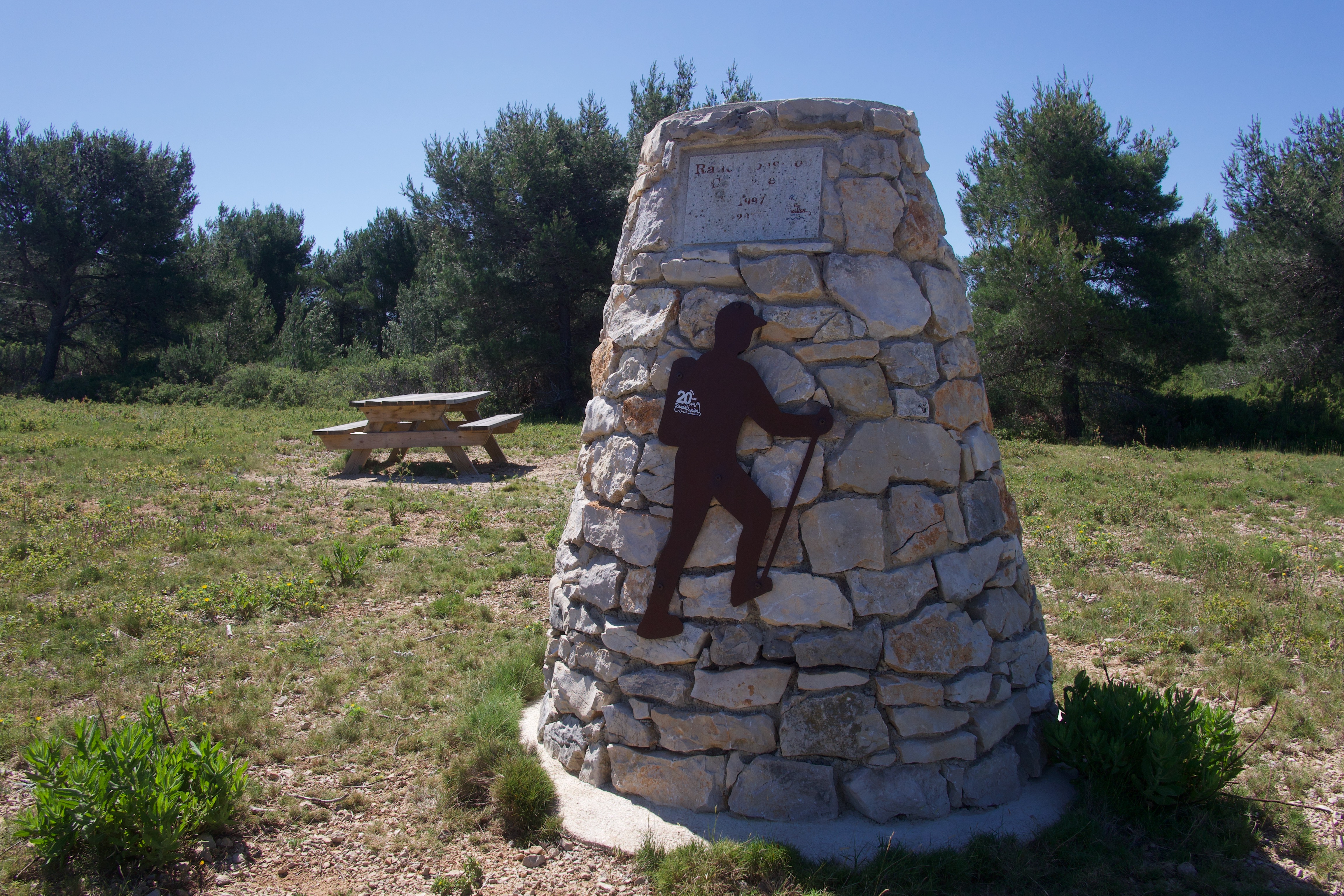
For families, the Romaron is an ideal place far away from the hustle and bustle of the city. Five different routes will allow you to explore this massif in the encounter of natural wonders: wild caves, breathtaking views of Mount Carpiagne, the Marseilleveyre massif, the Frioul islands and the Planier lighthouse.
An orientation table will allow you to locate all your discoveries and the fragrances of the garrigue will envelop you during your journey.
Course of 5 to 10 km, with 150 to 300 m of difference in altitude and easy to medium level.
Presentation
Detail of the loops
• Follow-on-the-Give
- Loop of the Fort de Niolon. Departure station Niolon. 6km.
- Boucle des Bourgailles Caucarières. Departure parking lot of the Bourgailles. 4km.
- Loop of the calanques. Departure parking from the station of Ensuès-la-Redonne. 6.5km.
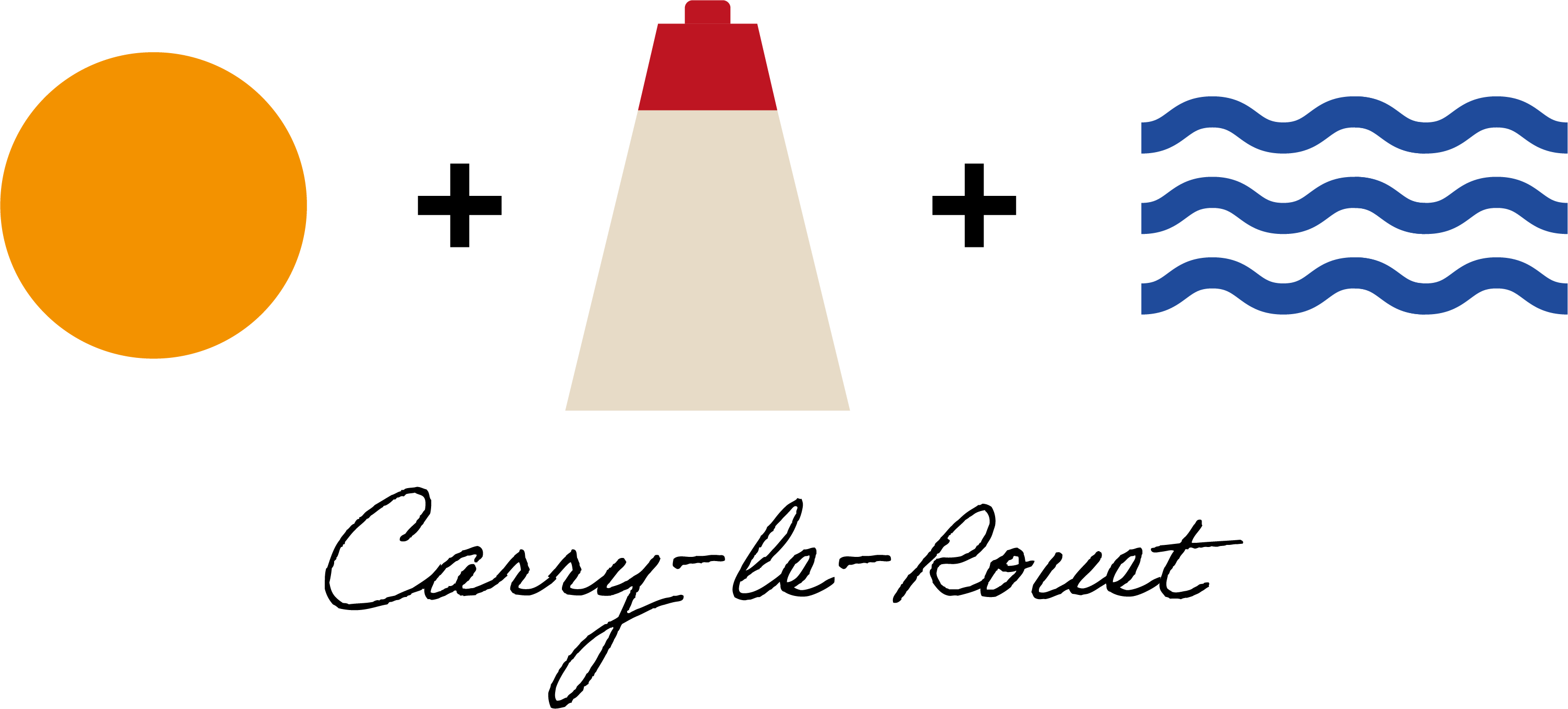
• Carry-le-Rouet
- Loop between Sea and Hill. Departure SNCF station. 12 km.
- Loop The Romaron Tour. Departure Tourist Office. 8km.
- Loop Vallon de Jaume by the Caves. Departure Tourist Office. 10km.
- Loop The cove of salty waters. Departure beach of Rouet. 4km.
- Loop Notre Dame du Rouet by the plain. Departure beach of Rouet. 12,4km.
• Sausset-les-Pins
- Boucle Sea and Valestéloué hill. Departure Tourist Office. 6,5km.
- Boucle du Grand Vallat Littoral. Departure Tourist Office. 5km.
- Boucle Mer and Pinéde Valapoux. Departure Tourist Office. 10,5km.
- Loop Roselière Botanical Trail. Departure RD49 towards La
Crown, parking of the reed bed. 2,3km.
• Martigues
- Grand Boucle de Cap Couronne. Departure Gare de la Couronne. 24km.
- Botanical loop of the plain of Carro. Departure parking Arnettes. 4km.
- Local loop of Boumandariel. Departure parking of Boumandariel. 5,5km.
- Loop of stone quarries of La Couronne. Departure parking lot of Ragues. 12km.
- Loop of military remains. Departure way of Cavalas. 10km.