Accessibility options
Plage Fernandel
Information
Plage Fernandel
Quai Maleville
Port de Carry-le-Rouet
13620
Carry-le-Rouet
Phone : +33 4 42 13 20 36
Presentation
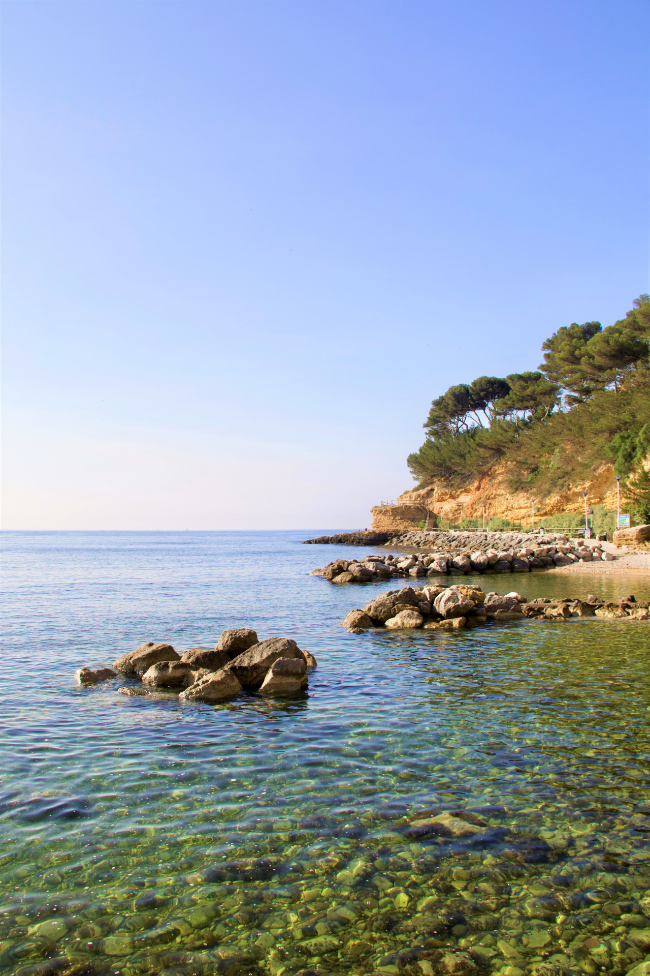
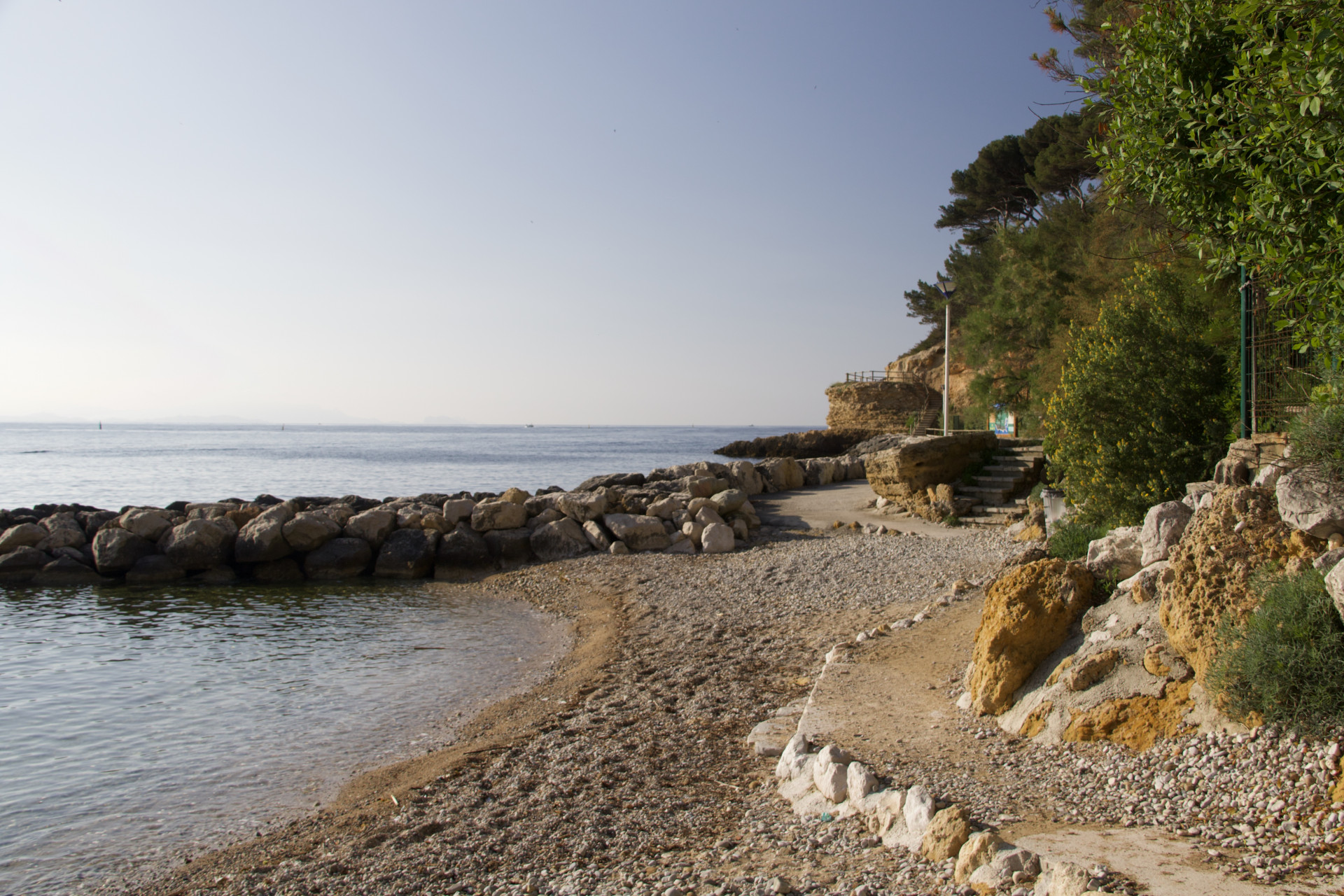
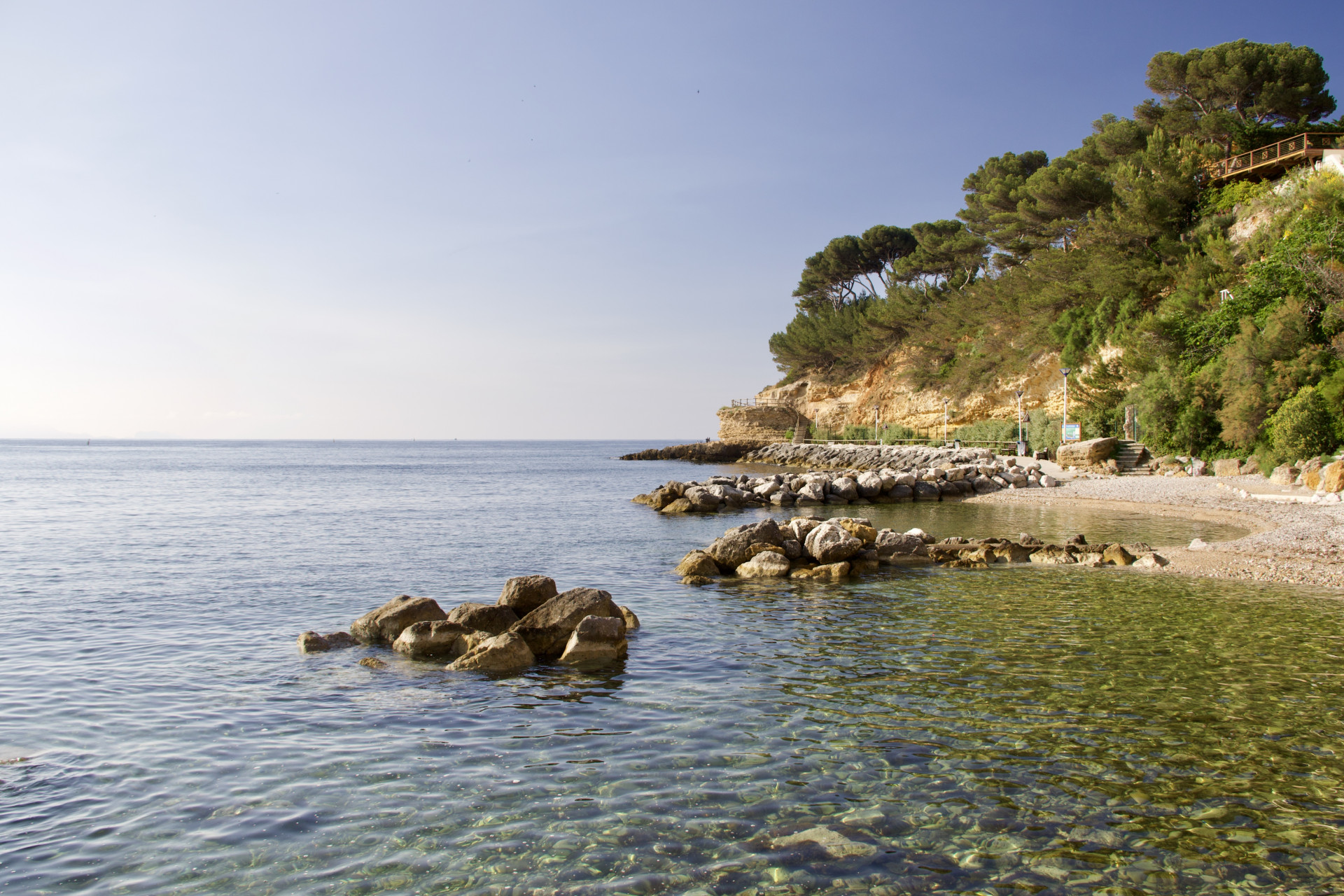
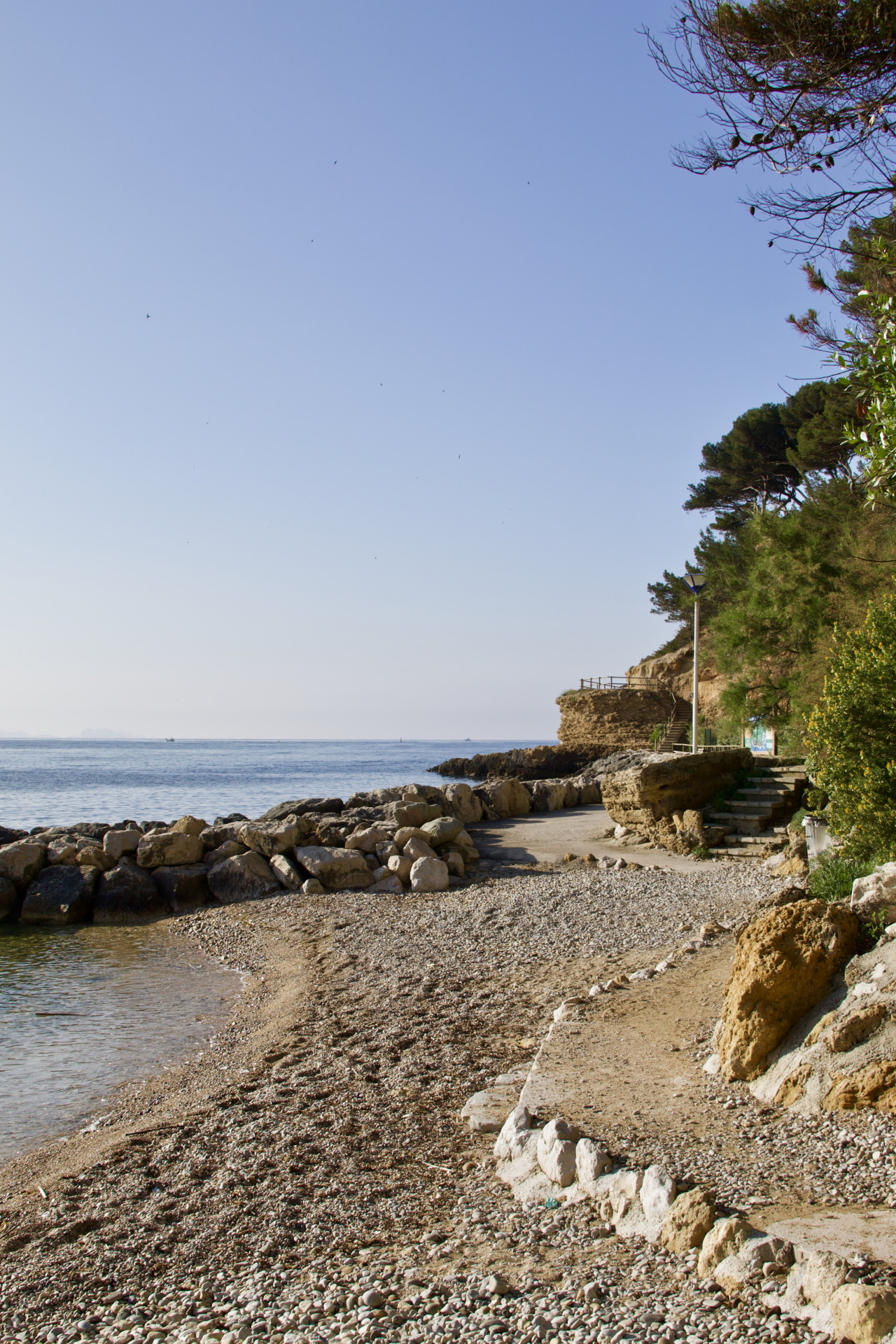
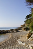
Small pebble beach just a few steps from the port and town center.
The beach marks the start of the sentier du lézard, a coastal path popular with families and sports enthusiasts.
The beach marks the start of the sentier du lézard, a coastal path popular with families and sports enthusiasts.
Long ago, this site was used as a mooring point for Roman ships that came to refuel in the surrounding quarries.
Many centuries later, Marseille-born Fernandel chose to make Carry-le-Rouet his holiday port between film shoots. So he had a villa built on the cliff, overlooking the open sea and the little fishing port so dear to his heart. From the villa, a stone staircase led down to a private beach.
Today, Fernandel is no longer there, the villa has been sold and the Littoral law has enabled the town council to reclaim the seafront and make it public. And so Fernandel beach was born. A small stretch of sand and gravel no bigger than 100 m², from which you can explore the Côte Bleue's marvellous underwater world with a mask and snorkel.
From the port. Take Quai ouest (quai Malleville)
Périodes d'ouvertureAll year round daily.
General Information
- Water sports :
- Beach / Bathing Area
- Water sports
- VillageDeDepart :
- Carry-le-Rouet
- Period :
- Autumn
- Summer
- Winter
- Spring
- Open year round
Equipment, Services
- Leisure facilities :
- Beach
Tarifs
Free access.
Destination
Plage Fernandel
Quai Maleville
Port de Carry-le-Rouet
13620
Carry-le-Rouet
GPS coordinates
Latitude : 43.32839
Longitude : 5.151286
